AT Creative Details
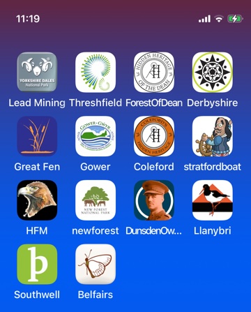
These are some of the apps I created for AT Creative.
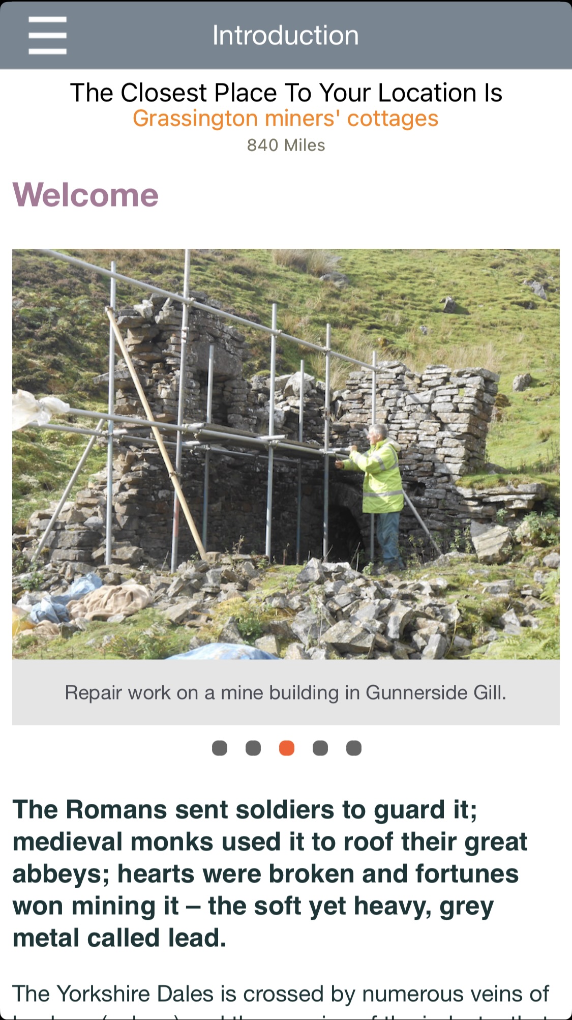
This is the first page, an introduction to the app.
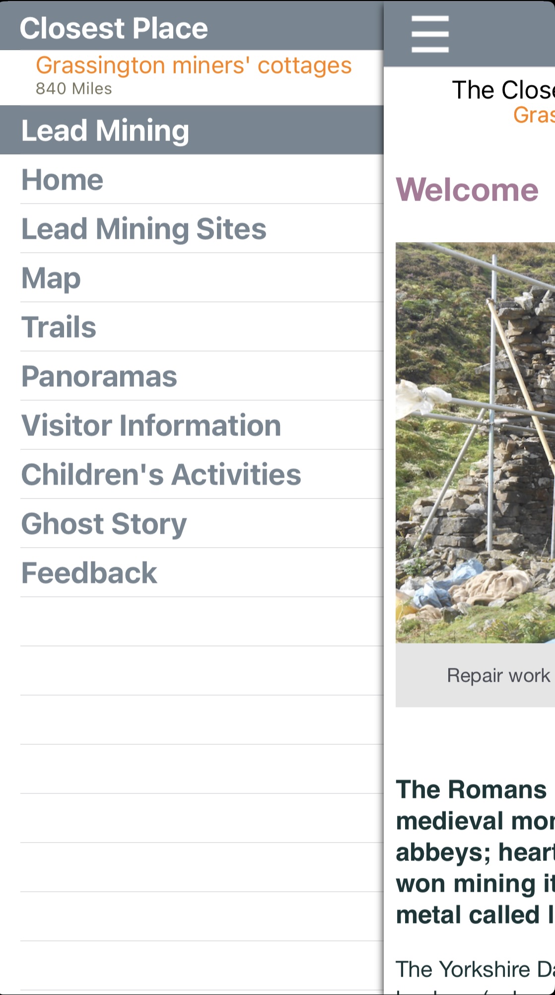
Menu options available from the hamburger menu.
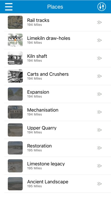
This shows a list of 'places of interest (POI)' covered by the app.
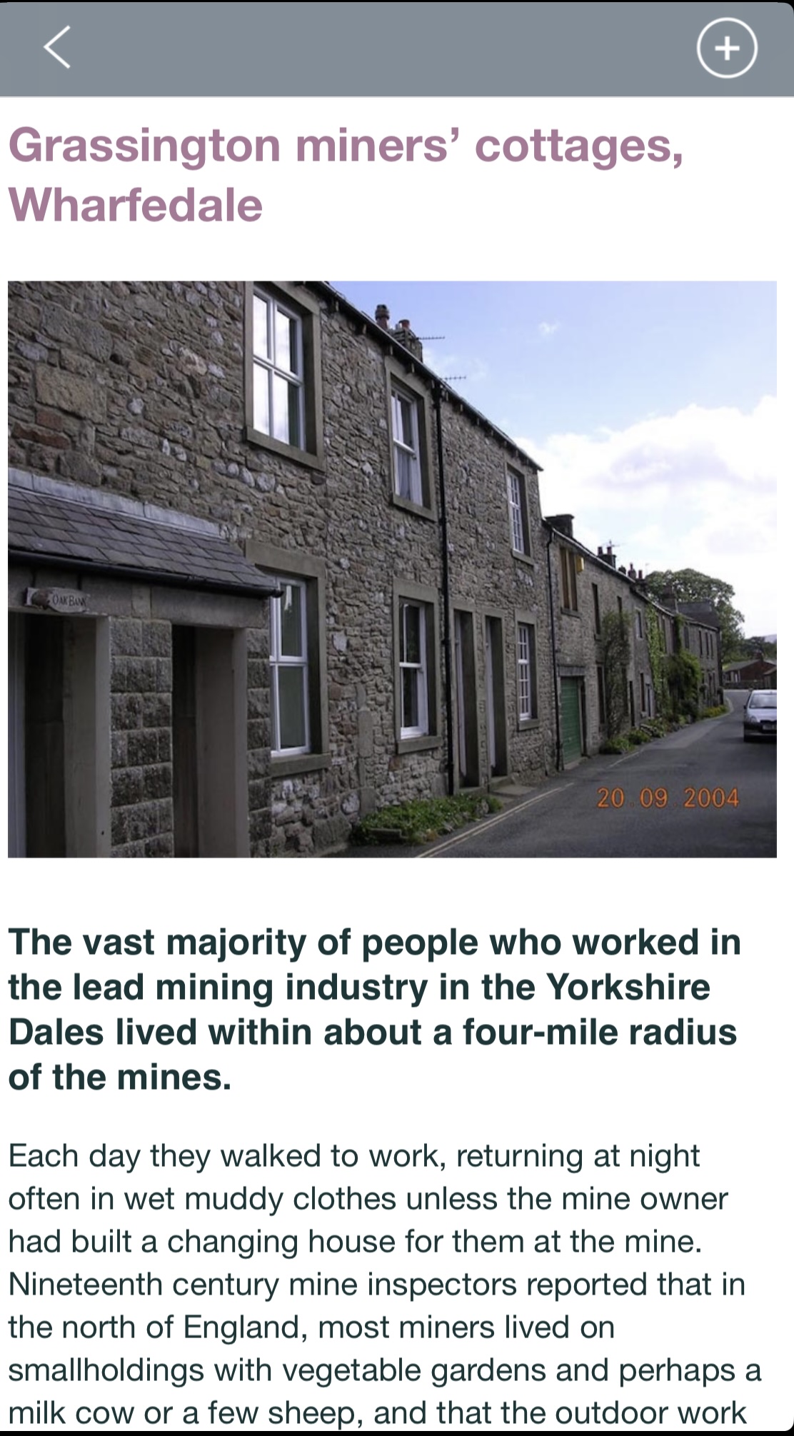
When you pass a POI, a beep is heard and a page describing the POI is shown.
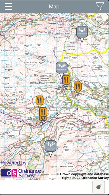
This is the map which shows the POIs plus routes.
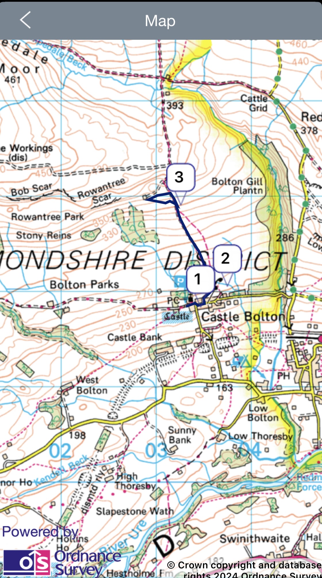
For Yorkshire Dales we used OS maps overlaying the device app.
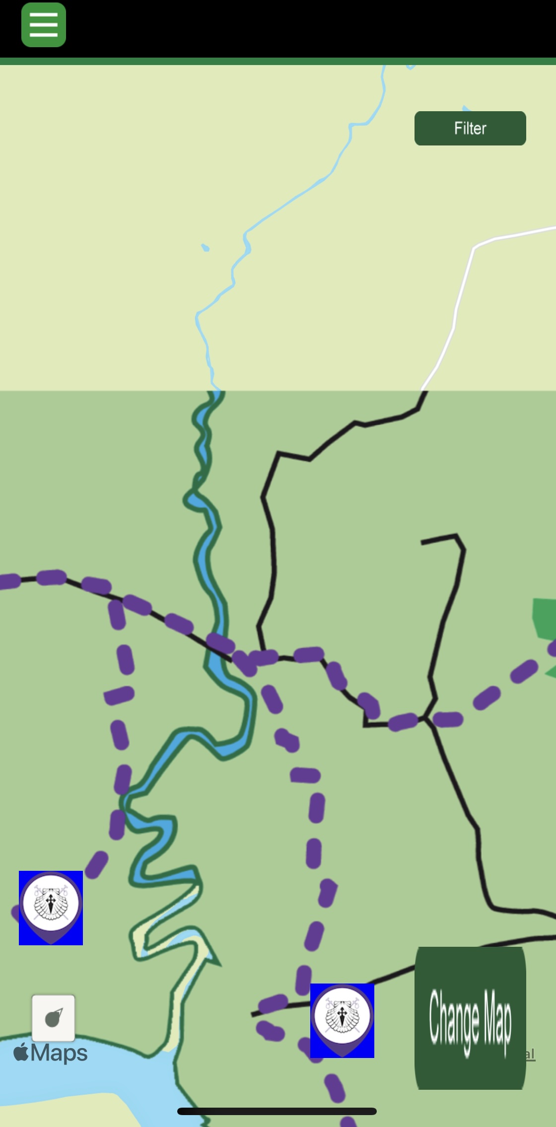
A map overlay using the image provided by the end client.
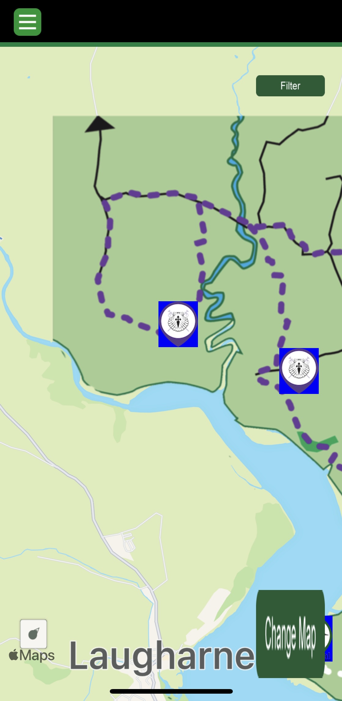
Another map overlay using the image provided by the end client.
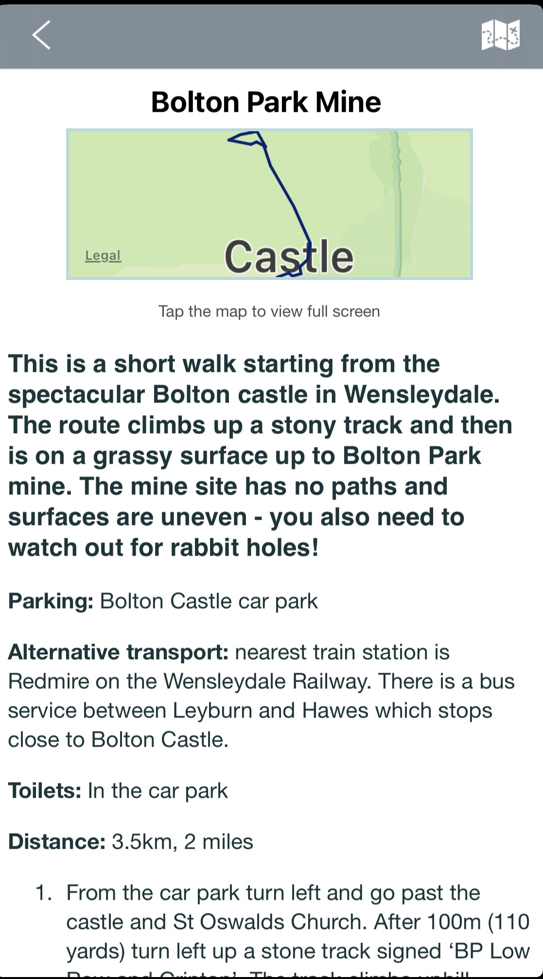
An example of a walking route.
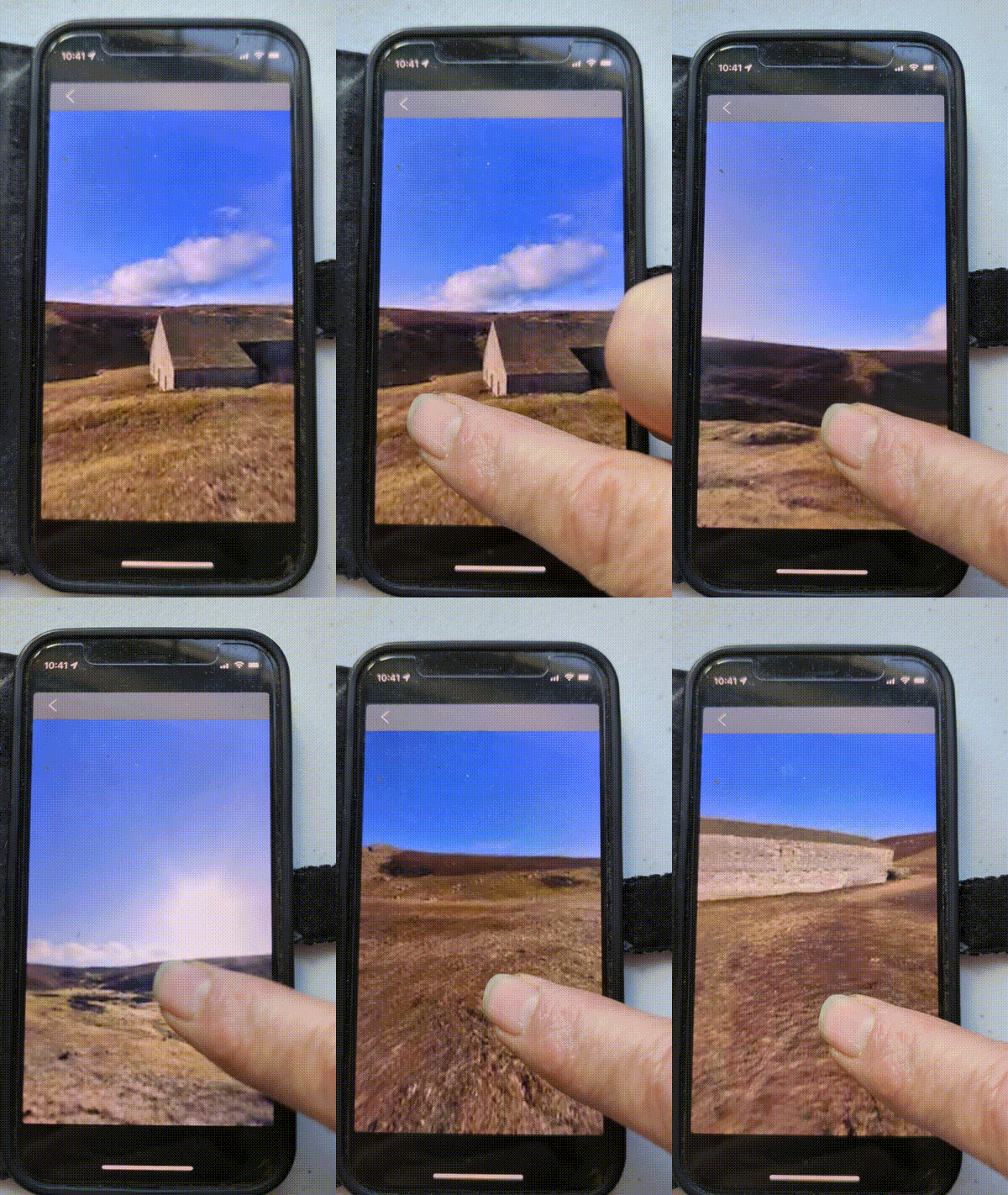
For Yorkshire Dales, I created a viewing screen for 360-degree panoramic photos.
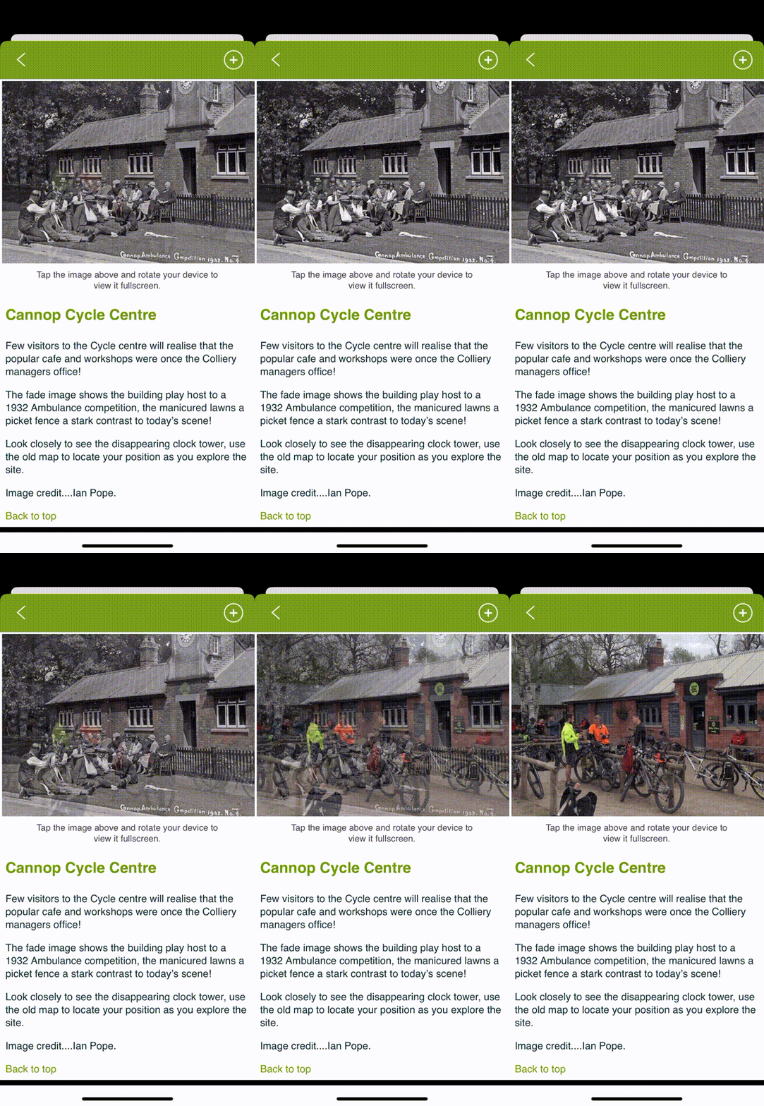
This shows a current image fading over an old photo.

I included a video in this app, and some animation.
Sole Mobile Programmer (iOS/Android) for the central offering of AT Creative
AT Creative
In 2008, Dan Boys, CEO of AT Creative, approached me with EU funding to develop a geographically aware app for walking tours in Derbyshire. The goal was to create a framework that could be reused for similar apps, allowing new content like routes and points of interest (POIs) to be easily integrated.
I initially developed versions of the app for Android and iOS, alongside versions for BlackBerry and Symbian (Nokia) phones, though the latter two were soon discontinued. Since then, we've produced over 25 apps, each based on the same core framework but customized to meet the unique requirements of different clients.
Core App Functionality
The foundational app features included:
- list of Places of Interest (POIs).
- list of routes.
- map displaying routes and POIs.
Additional pages, like an introduction and an about page, were included, but the above elements formed the core functionality. Once the app was opened, it would track the user's location. When the user approached a POI, the app would notify them (with a beep) and display a page about the POI, which would then be marked as "visited" in the POI list.
Technical Challenges
One of the main challenges, especially early on, was tracking the user's location efficiently. Geofencing wasn't an option because the minimum trigger distance (100 meters) was too large for close-up landmarks or sites. Instead, I registered for fine-grained location updates (every ~5 meters), which required efficient handling to avoid excessive battery drain. The solution involved minimizing processing inside the location callback, checking distances from all POIs using highly optimized code.
Client-Specific Customizations
Over the years, new clients brought additional requirements, which led to continuous adaptation and innovation. Below are some examples of custom features:
Mapping
- Custom Map Overlays: Clients often provided custom map images to be overlaid on device maps.
- Ordnance Survey Maps: For the Yorkshire Dales National Park, we integrated Ordnance Survey (OS) maps using their framework.
- Custom Icons: Many clients requested different icons for various POIs.
- POI Information: Some clients required different types of information to be displayed when a POI was selected.
Audio and Video
- Audio Playback: Several clients provided interviews and audio clips associated with POIs.
- Conditional Video Playback: One app included a video of an explosion that could only be unlocked after visiting three specific POIs.
- Automated Commentary: A boat tour app featured automatic audio commentary triggered by the boat's location.
Images and Media
- Photo Galleries: Users could scroll through photo galleries within the app.
- Fading Images: We implemented a fading effect to display a historical photo over a current image of the POI.
- AR Image Overlay: For one app, we developed a feature that allowed users to overlay a faded historical image over the live camera view.
- Panoramic Viewer: For the Yorkshire Dales app, we built a 360-degree panoramic image viewer using OpenGL.
Additional Features
- iSpy Game: One app included a simple iSpy game.
- Augmented Reality (AR): We developed an AR feature for a game that allowed users to "catch" animated butterflies in their camera view.
This experience is directly relevant to my mobile app maintenance services, especially for businesses needing help updating, extending or rescuing existing iOS and Android applications.
I've worked on an off with James for many years. Whatever coding issue I have thrown at him he has overcome with professionalism and what appears to be consummate ease. In the old days he produced our first Symbian and Blackberry apps (remember them?) and since that time has played an important role in developing our iOS and Android platform, which has involved turning his hand to a wide range of multimedia applications and complex mapping. James is very reliable and a lovely person, with a very positive disposition. His communication skills are excellent and his problem solving abilities make working with him, and delivering projects, a breeze.
Dan Boys
CEO, AT Creative
Project information
- Category Geographically Aware Apps
- Client AT Creative
- Project date 01/05/2008 to now
- Visit Website
- Technology Android, Kotlin, Java, iOS, Swift, Objective C, SQLite, OpenGL, Complex Mapping, images, Audio and Video